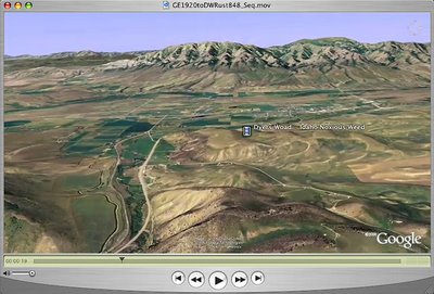
 Click on the image to the left to watch a QuickTime Google Earth Fly in above Idaho to a location in Bannock County where there is an infestation of Dyers Woad. The fly in dissolves to a video narration with Dave Hallinan, Bannock County Weed Supervisor, explaining to Roger Batt, Idaho Weed Awareness Campaign Coordinator, how a fungus called rust acts as a bio control agent.
This High Definition 720p movie (Screen Size 1280 x 720)
is hosted on my Blip.tv space where you can also watch it in a flash format and an interesting new "full screen" format. Also note that I created the original Google Earth Fly in movie was in a true High Definition window size (1920 x 1080) and the HDV video content was edited in Final Cut Pro in the same size.
Eric Sandmeyer has gratiously allowed me to attach a portion of his "Soaring" sound file to this movie. This music really adds to the fly in.
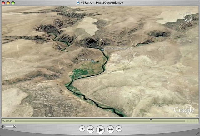
We (Mountain Visions) are creating a web site for the Idaho Weed Awareness Campaign. A full screen 360 degree panorama and additional video sequences describing Dyers Woad are available to view if you click here.
