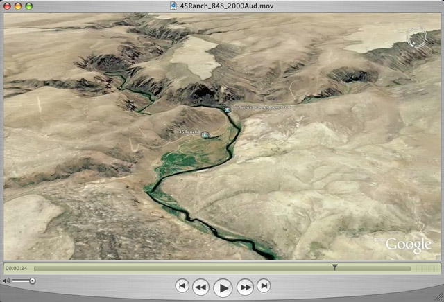
 I am starting to experiment with a complicated Google Earth Tour showing the river passages Anadromous fish have to swim to get to the mountains of Idaho to spawn. Click on the image to see the first rough draft, which is hosted on my Blip.tv Show page. This is a QuickTime file with a window size of 848 x 480. I have also created a version with a High Definition size of 1280x 720p that is not uploaded yet.
In the Google Earth Community, Environment and Conservation topic area I have posted a message and link on January 19, 1:PM to Download a Google Earth KMZ file with dozens of additional placemarks you can tour using the Google Earth Browser.
The direct link to the message and file is here.
At this stage, for this movie I have produced three rough drafts of movie segments which include: 1. flying from space to the mouth of the Columbia River on the Pacific Ocean; 2. from the Columbia River outlet to the Bonneville Dam; and 3. a quick flight to the mouth of the Snake River over the controversial dams to Lewiston, Idaho.
The KMZ file you can download from the Google Earth Community provides many more specific locations. Playing the tour will allow you to fly along in the canyons of the Snake and Main Salmon Rivers.
Eric Sandmeyer has gratiously allowed me to use a sound file titled "Soaring" he has composed.
This is a work in progress and comments and suggestions are welcome.

